Among my granddad’s things is this gloriously colorful 24 x 18 map. My guess is that Gramps mailed his request to General Foods, as Grape-Nuts was one of the foods Byrd took on his journey.
Per curtiswrightmaps.com,
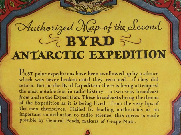
It depicts Antarctica from a polar perspective, with the tip of South America visible at the very top of the image. Large areas are labeled as unexplored, inaccessible, or “claimed.” Inset maps of Byrd’s route south and the area near his camp are provided to the audience as a helpful aid. As explained in the decorative title cartouche, Byrd’s second expedition was the first to feature live two way radio broadcasts. A radio station sponsored by CBS was set up on the base camp ship and relayed weekly updates to New York via Buenos Aires.
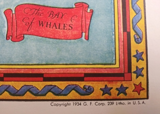
Below, you can see the copyright of 1934. One wonders if, at age 14, Gramps ever put this on his wall. It does not appear so. Or has it simply sat inside this envelope for 86 years, going from house to house each time he moved, packed away in a box and never tossed away?


Great post 😁
LikeLiked by 1 person
Thanks!
LikeLike
Cool, Kerbey! Your grandpa had a wonderful hobby.
LikeLiked by 1 person
What a fascinating possesion and a great post. I can imagine how exciting it would be to hear a live broadcast from that distance. Also I like yout happy kitchen header.
LikeLiked by 1 person
Thanks! Yes, I tried to put myself in his shoes, thinking about that live broadcast as well. It would surely be preferable to the overhyped news these days.
LikeLiked by 1 person
Grape Nuts: not grapes, not nuts. Popular in New Mexico which is not new, and, well, you know.
LikeLiked by 1 person
Hey, you former Hawaiians should explain pineapple to me…
LikeLike
Not pine, not apple. The funny thing is the entire world (except Spanish and Tagalog) pretty much calls them ananas except for English. Why? There is a reason:
https://historyhustle.com/heres-why-a-pineapple-is-called-ananas-in-just-about-every-language-but-english/
LikeLiked by 1 person
Hmm. Well, now you’ve forced this virus-free suburban housewife to know that painappuru exists. PAINful. It does make sense that the apple of a pine tree does look like pineapple crisscrosses. Perhaps that’s why I like the look of both of them! But you can’t incorporate both into decorating because one is tropical and one is not.
LikeLiked by 1 person
Yes, Chip and Joanna (in bootiful Waco) taught me all about that.
LikeLiked by 1 person
Well, she knows her shiplap. I see they’ve had to cancel their Spring Silo whatever event, just like everyone else who is afeared of les germes de china. 😦
LikeLike
very cool stuff.
LikeLiked by 1 person